Historic Landscape
Characterisation
The Gwent Levels
11 Caldicot Moor
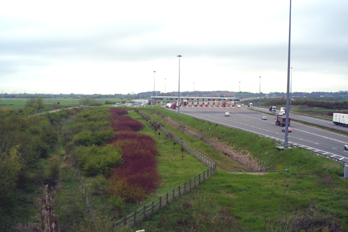
11 Caldicot Moor character area: "regular landscape"
resulting from Parliamentary enclosure in 1850.
(Photo: GGAT Gwent Levels2 021)
Click here for a character
area map
This whole landscape was created in 1850 through the enclosure of the former common.
This area was a common pasture for several local communities and is referred to in many medieval and later documents.
Key historic landscape characteristics
Homogenity, drainage features (no grips), seawall includes relict medieval
seawall (SAM), regular field pattern of square to rectangular fields,
grid of green lanes, no settlements, in-filled tidal creeks
This area is bounded by Collister Pill to the west (area 6), the fen-edge and Second Severn Crossing to the north/east and the coast to the south. Ifton Reen (area 12) lies to the east.
The landscape consists of a grid of green lanes and square to rectangular fields. There are no settlements. A relict medieval sea wall lies to the west of Collister Pill (a Scheduled Ancient Monument), and the modern (1850) sea wall lies along the present coast. Many fields contain the undulating traces of former tidal creeks, which have silted up since the construction of the sea wall.
This is one of the few areas where there is an unbroken landscape from coast to fen-edge. The slight increase in elevation towards the coast is discernible on the ground.
This is one of only two surviving major nineteenth century Parliamentary landscapes on the Levels. Because it was created through the enclosure of common land (as was the case of the now largely destroyed Green Moor), as opposed to open fields (e.g. Broadmead), it is unique.
All the features date to c.1850. Therefore, this is an extremely rare landscape of a single period and very homogenous nature. It is also one of the very few areas of fen-edge that survive.
No fields have grips, though there are extensive earthworks of infilled tidal creeks. There is a marked variation in the nature of the hedges: those to the north tend to be better maintained, whereas to the south they are more scrubby or even well wooded.
Overall this is a very coherent landscape, with good integrity. However,
part of the area has been destroyed by the Second Severn Crossing. Much
of the remaining land is outside the bounds of the SSSI. Agricultural
improvement has led to the loss of a significant number of hedges, which
makes the impact of the Second Severn Crossing all the greater. There
are also rows of pylons running across the Moor.